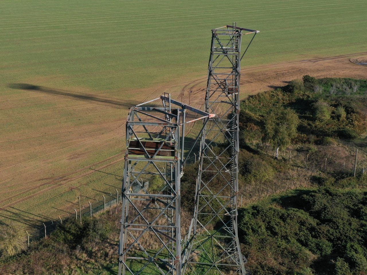
The use of drones to collect information is still in its infancy. We use drones (UAV’s or Unmanned Ariel Vehicles) for:
Photography
- images of infrastructure to check safety and security – towers, masts, culverts etc
- house & property photos for marketing or sales brochures – high definition, full colour
- fields and boundaries
- estates, woodland, lakes
Video
- publicity video
- house & property photos for marketing or sales brochures – high definition, full colour
- real time survey video
Survey
- roof surveys, reducing risk of harm from working at height
- barn survey, internal or external
- wildlife survey, deer counting etc
- tree survey – disease monitoring, risk assessment, visual tree assessment
Mapping
- plotting new areas such as ponds or woodland onto farm or estate maps
- creating 2D or 3D high definition maps.
Benefits of using a drone:
- Safety. The drone can fly and send back images safely from potentially hazardous positions or situations
- Speed. Survey a roof in 10 minutes – potentially saving hours of time with towers or MEWP’s
- High quality, high resolution images for your records
- Geo-referenced photograph positions enabling you to get comparable photographs time after time
I use a DJI Mavic2 Pro equipped with the all-new Hasselblad L1D-20c camera. The L1D-20c possesses Hasselblads’ unique Hasselblad Natural Colour Solution (HNCS) technology, helping users to capture gorgeous 20-megapixel aerial shots in stunning colour and detail.
I am Fully Authorised by the UK CAA (Civil Aviation Authority) to carry out Commercial Drone Operations (PfCO), and as such am able to obtain permissions to operate in controlled airspace – areas it would usually be illegal to fly in. Formally a Commercial Aeroplane pilot, I am experienced in working in busy air-traffic areas.
Drop me an email at james@james-gillies.com to see how drones can help you manage your land.